
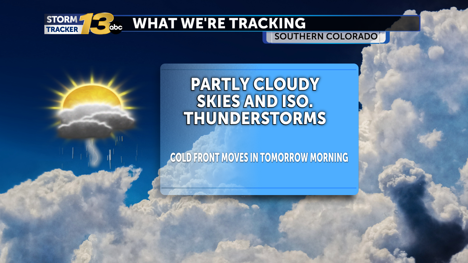
Many of us have enjoyed warm temperatures and sunshine this afternoon. However, with strong upper-level energy in place, abundant moisture, and temperatures warming into the 80s for some, thunderstorm development looks likely across our southern and southeastern counties. In fact, a severe thunderstorm can't be ruled out, and the Storm Prediction Center has highlighted portions of our area with a Level 1 Marginal Risk. The overnight will feature increasing clouds and continued chances for rain across our Southeast. Temperatures will remain mild for late October, only dropping into the mid-40s to 50s.
A cold front will be pushing across our area by daybreak tomorrow morning. Strong northerly winds will develop, and temperatures will not warm much during the day under cloudy skies. Rain chances will pick up quickly across the entire area, with heavy rain possible throughout the afternoon hours. A flooding risk may develop across our southern and southeastern counties where rain will have been ongoing from earlier. As colder air is pulled in, snow elevations will drop to roughly 8000'. Some snow may mix in across our higher-elevation communities, and a few snowflakes can't be ruled out across Monument Hill. Daytime highs will reach the 50s and 60s.
Chances for rain will persist through Sunday, with the favored areas for heavy rain again across the eastern Plains. Here, a flooding risk will continue through the weekend. The upper-level system finally departs the area on Monday, with skies clearing. Temperatures will warm back to seasonal averages with drier conditions by the middle of next week.
The post Isolated thunderstorms through tonight before a cold front and widespread rain this weekend appeared first on KRDO.


